Low altitude aeromagnetic measurement using unmanned aerial vehicles
In geological and mineral exploration, traditional magnetic measurement has obvious shortcomings. The efficiency of ground magnetic surveying is low, making it difficult to quickly complete large-scale area scanning, and it is severely constrained by terrain - complex areas such as mountains, valleys, rivers, lakes, swamps, and dense forests make it almost impossible to carry out operations.
Traditional aeromagnetic surveying also has limitations: limited flight altitude, complex work deployment, high cost, difficulty in high-precision measurement of shallow ore bodies, and inability to meet the requirements of geological exploration for shallow ore body detection accuracy.
2、 The rise of low altitude aeromagnetic measurement systems for unmanned aerial vehicles
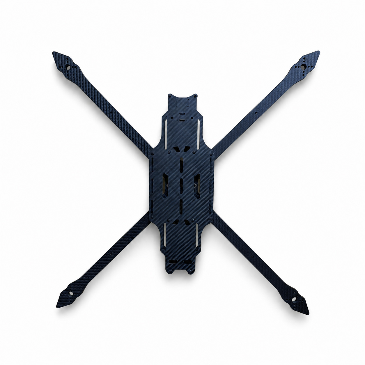
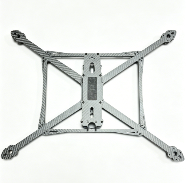
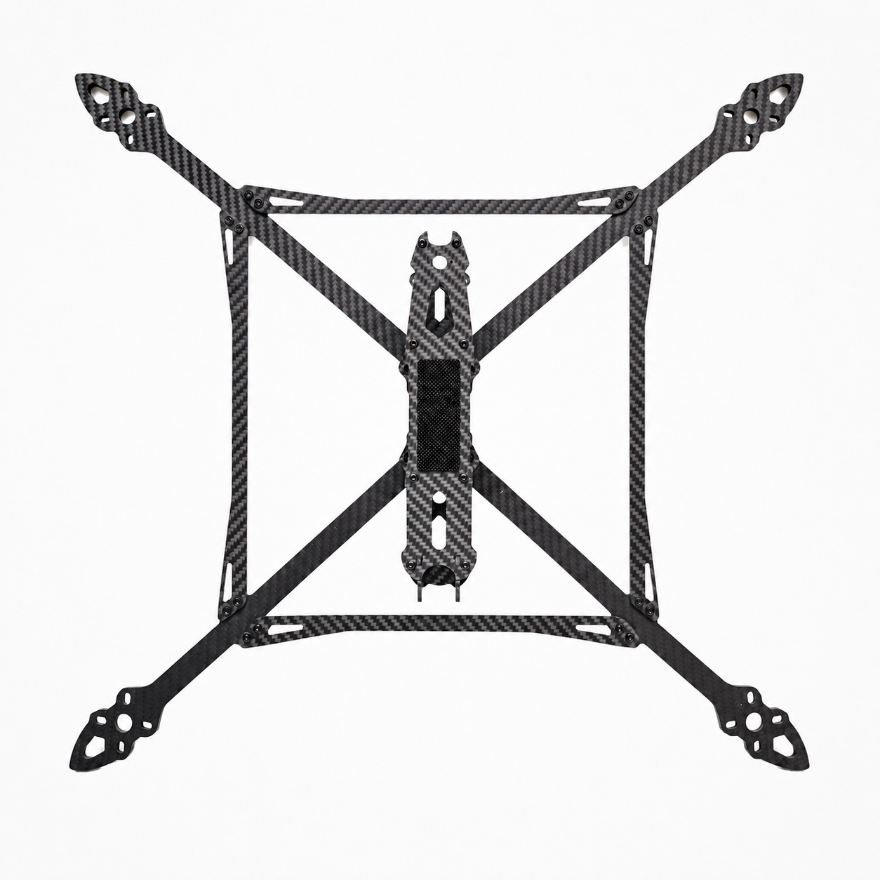
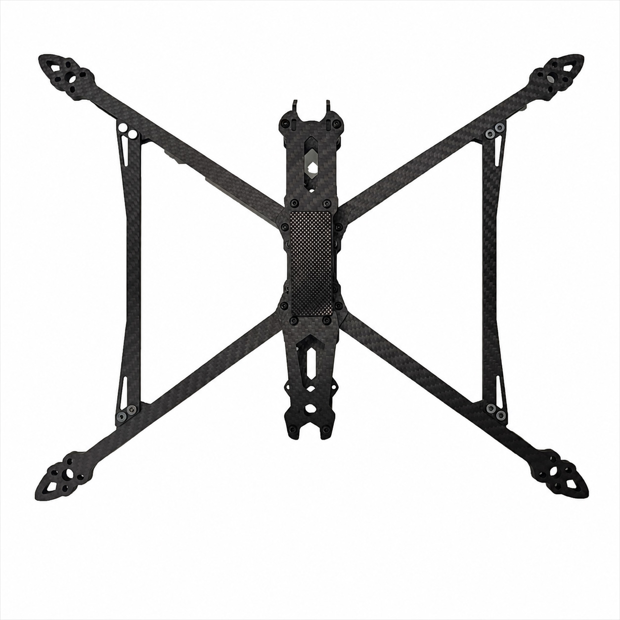
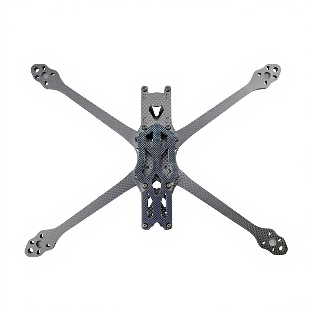
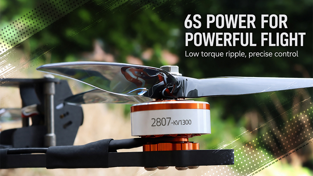
In order to break through the bottleneck of traditional technology, the low altitude aeromagnetic measurement system for fixed wing unmanned aerial vehicles with magnetic exploration plates has emerged. The system uses a suspended fixed wing unmanned aerial vehicle as the flight platform and is equipped with advanced magnetic measurement instruments and software technology, such as cesium optical pump micro magnetometer GPS、 Inertial measurement sensors form an integrated unmanned aerial vehicle (UAV) aeromagnetic system, providing hardware support for high-precision magnetic measurements.
3、 The advantages of low altitude aeromagnetic measurement system for unmanned aerial vehicles
Compared to traditional technology, this system has significant advantages, which can be reflected from multiple dimensions:
(1) High resolution and high precision
The system is equipped with advanced equipment such as cesium optical pump micro magnetometer, which can accurately capture magnetic field changes and obtain high-resolution magnetic field data. Especially with its ability to simulate ground flight along terrain undulations, it can operate close to the surface, greatly improving its ability to distinguish shallow geological bodies and breaking the problem of insufficient accuracy caused by height limitations in traditional aeromagnetic measurements.
(2) Flexibility and Convenience
The system has a lightweight structure, low requirements for site conditions, and does not require complex takeoff and landing sites. It can also operate flexibly in special landscape areas with complex terrain and poor visibility. Whether it is areas where ground work is difficult to carry out such as swamps, deserts, beaches, or islands and surrounding waters, the measurement tasks can be successfully completed, filling the gap of ground magnetic surveying due to terrain limitations.
(3) Cost effectiveness and safety
Compared with traditional aeromagnetic surveying, this system does not require high operational costs for manned and manned equipment, consumes less manpower and material resources, and significantly reduces exploration costs. At the same time, drone operations prevent personnel from entering dangerous areas, greatly improving safety factors and reducing terrain risks faced by personnel in traditional ground measurements.
(4) Efficient data collection and processing
Compared to ground magnetic surveys, its collection efficiency is higher, it can quickly cover the target area, and has strong controllability. It can operate accurately through preset routes to avoid the problem of missing points in ground surveys. In addition, the system is less susceptible to external interference and the collected aeromagnetic data has high reliability, making it suitable for small-scale and large-scale aeromagnetic surveys. More importantly, the system can be equipped with multiple detection instruments according to requirements, enabling synchronous measurement of various data such as magnetism, electricity, and radioactivity during a single flight, further improving work efficiency and saving time and costs.